
Ah, the San Juan Islands. And just like much of the Pacific Northwest, the rocks that form the San Juans are exotic! Again, we as geologists use the term “exotic” to describe rocks that formed somewhere else on the planet, and then were transported to their current location by various plate tectonic processes. A great general example of this would be rocks that form on the ocean floor (on top of an oceanic tectonic plate), then get transported along the oceanic plate to a subduction zone- a massive collision with a continent. Here, the oceanic plate will be shoved underneath the continent because of its greater density… but rocks on top will be scraped off and accreted/ added to the continent.
Most of the San Juan Islands are composed of rocks that were once part of the ocean floor, or ancient island arc volcanoes (similar to the Aleutian Islands or Japan today). These rocks formed during the Jurassic and Cretaceous periods (~200- 150 million years ago, give or take a couple weeks), and then were added to North America around 90- 100 million years ago. But there’s a little more to these rocks than just what’s at the surface, and what we hike around on or take the ferries past… a much deeper story…
The interior of the Earth is structured into many different layers- one specific way to classify these layers is roughly based on their composition. During the early formation of our planet, while it was still mostly molten, heavier elements like iron and nickel sank to the center, forming the core. Slightly less dense iron and magnesium-rich minerals formed a large mantle surrounding the core, and the lightest or lower-density minerals (those that contain lots of silicon, oxygen, potassium, aluminum, calcium) “floated” to the surface and formed the crust. Of course, over time the crust solidified and then things* happened and we have the Earth today!
(*LOTS of the things…)
But wait a minute. How can we know the composition of the Earth’s mantle? We as humans have never been able to drill deep enough to actually sample the mantle! How do we observe such a thing?
It turns out that there are ways to indirectly sample the Earth’s mantle. Some volcanoes with very deep magma sources will bring up small pieces of the mantle during eruptions. In other places sections of the very base of the ocean crust, which contains material from the upper-most mantle, can get caught up in the accretion of exotic rocks to a continent!
Which brings us to the photo! 🙂
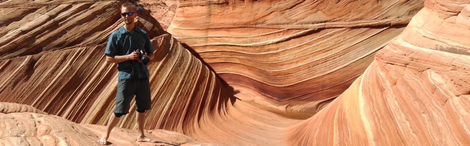
You might think that Green Point along the loop trail in Washington Park, Anacortes, is named for the trees, but I’d guess it’s named for the rocks! The rocks here are peridotite, similar in composition to the rocks on the way to Lake Ingalls, but these particular ones formed much deeper in the Earth. The brownish-orange color of the rocks is a result of weathering, oxidation and alteration of the minerals in response to being exposed to Earth’s atmosphere. But if you poke around the outcrop, you’ll find fresh rock faces where the color is a very dark, shiny green. These iron and magnesium-rich rocks are part of the upper mantle (think like 15- 20 km deep!), transported to the surface when they and the oceanic crust above got squeezed upwards during the accretion process, as the package of rocks that is now the San Juan Islands was being added to North America. And now we can hike around on the Earth’s interior!
So I guess that for the bigger-picture moral of the story, we could say that the Earth’s mantle is….
Green!
Side note, this is one of my favorite pictures of my old dog Skykomish. He was my field partner for grad school research, hiking partner, skiing partner, and all-around best adventure dog. Probably hiked thousands of miles with this guy, and he never complained once. Sadly he had to cross the rainbow bridge in 2021, but I know he’s somewhere romping around with that goofy smile.
