
Really, in my professional opinion (as a geologist), the best way to explore a region’s geology is hiking. Whether it’s backpacking for 3-5 days across multiple alpine passes, or hiking 10 meters from your car to a roadcut (or even just experiencing the roadcuts from your car!), every rock or group of rocks has a cool story to tell.
Aside from a few isolated outcrops in eastern Washington, the bulk of our state is *exotic*- a term we use to describe rocks that were formed in some other location on the planet, then transported to their current location via tectonic plate motion and accretion. Large related groups of exotic rocks (similar rock type and age) are referred to as “exotic terranes”. Imagine having a bunch of strips of different-colored Play-Doh laid out on a table in front of you, then sliding and smashing them all together to form a larger blob. This is analogous to to a large part of Washington’s geologic history, where rocks that formed elsewhere were transported here through colliding* tectonic plates!
(*mostly…. of course there’s still some debate on parts, but we’ll get to that!)
Last week we checked out some rocks that formed in a deep ocean basin around 450 million years ago (Ma), this basin being produced by the breaking apart of the old supercontinent Rodinia. This ocean basin didn’t exist forever, and around 250 Ma the plate tectonic setting changed and the ocean floor (and all the rocks on top of it) began to be pushed back towards the land mass that would eventually become the North American continent.
When a section of the ocean crust collides with a continent, since the rocks of the ocean crust are slightly denser than the continent it will be shoved underneath in a process of subduction. But not all of the ocean crust is subducted, the continent can act as a giant, tectonic-scale bulldozer and scrape off rocks that were deposited on the ocean floor, volcanic islands that get caught up in the process, smaller micro-continents, and even pieces of the deep ocean crust itself! As these rocks are bulldozed off of the ocean crust they are added, accreted, to the continent. This process of accretion started in the proto-Pacific Northwest 250 Ma, and in one form or another continues today!
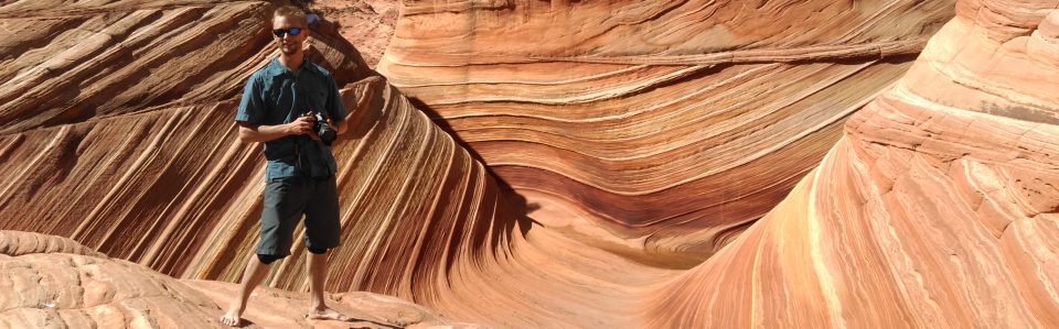
So now to the photo! Which I’m sure many folks here recognize
Lake Ingalls- a wonderful hike, beautiful scenery, and OMG LARCHES!!! Ha, but we’re not interested in the trees here, we want to know the rocks!
As you start the hike to Lake Ingalls, the rocks under your feet are mostly gabbro- an iron and magnesium rich intrusive igneous rock, formed by magma cooling as part of the process of creating the ocean crust. Pretty soon there’s a distinct change in the vegetation (much of it goes away!), and the rocks are now a very orangey-tan color like the foreground rocks in the photo. These are a melange (mixture) of serpentinite and serpentinized rocks, rocks that began their lives as part of the ocean crust but were metamorphosed in the high-pressure tectonic environment of a subduction zone. The original rocks that would become these particular serpentinites around Ingalls formed during the Jurassic- Cretaceous periods, then accreted to early North America around 100 or so Ma.
As these rocks are exposed to the atmosphere, they weather to a dull tan/ orange color. If you look closely at some of the rocks around the lake, you’ll find fresh faces that are a brilliant shiny dark green- the original color of the rock!
Serpentinites also produce very poor soils as they weather, hence the lack of vegetation.
But there’s more!
There’s a thin strip of grass in the foreground of the photo. (But I thought you said serpentinites formed poor soils…) This grass is growing on a small ribbon of carbonate rock- formerly a limestone but now slightly metamorphosed to more of a marble- which was likely once mud deposited on top of the ocean floor! This carbonate got caught up in the accretion process and became part of this larger melange.
And still more!
Mount Stuart in the background is composed of granitic-family rocks (quartz diorite and granodiorites), and is part of the larger Mount Stuart batholith. Batholiths form when large bodies of magma intrude into the continental crust at a subduction zone, and cool slowly before the material has a chance to erupt. This particular batholith formed in the late Cretaceous, but its presence in Washington today is kind of a debated topic!
Here’s why:
As magma or lava cools into a solid, iron-rich or magnetic minerals will align themselves with the Earth’s magnetic field in that location- and we can infer the latitude at which these rocks formed based on the orientation of these minerals in the rocks! Problem with Mount Stuart is that the orientation of these magnetic minerals indicates that the rocks formed at the latitude of present-day BAJA CALIFORNIA… ~2000 km south of where they are today!
There’s not much controversy over *where* the rocks of Mount Stuart formed, more over the tectonic mechanisms that transported the rocks to their current latitude. 2000 km is a long way to move geologically, and in a relatively short geologic time.
Of course, it’s the unknowns and the “Maybe this could explain…!” bits of geology that drives our curiosity! And motivates fun hikes
Phew! I’ll try and choose a slightly less complex set of rocks for the next one!
